First Alert: Strong storms roll through the state
Severe threat ends Sunday evening, but rain will continue through Monday
MONTGOMERY, Ala. (WSFA) - Multiple waves of rain and storms continue to sweep across Alabama this evening. There have been numerous reports of flooding and some damage from a possible tornado near Pine Hill in Wilcox County.
For much of our area, the risk of severe weather has ended. But it will linger for a few more hours in south and southeast Alabama.
Flooding will be a big concern tonight into early Monday morning. Additional waves of storms could drop an additional 2-3 inches of rain on an already-saturated ground; flood-prone locations could see flash flooding tonight into early tomorrow.
Watch the latest live and local weather data below, streaming on WSFA Weather Now! Please note, this stream does not include live severe weather coverage, only data on the latest weather conditions.
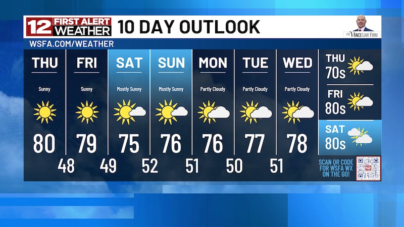
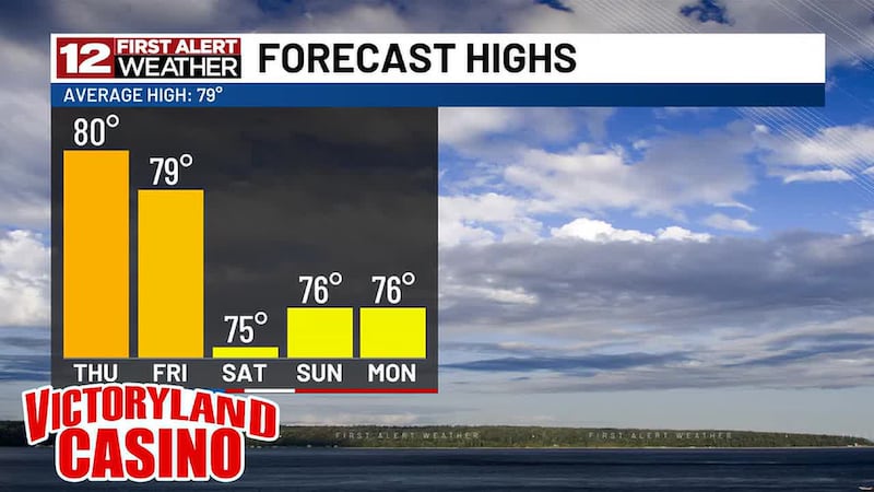
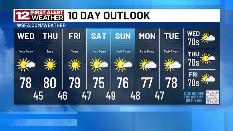
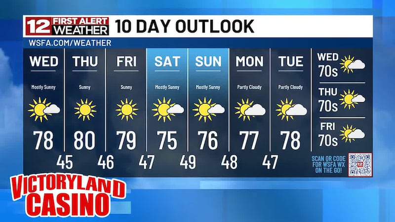
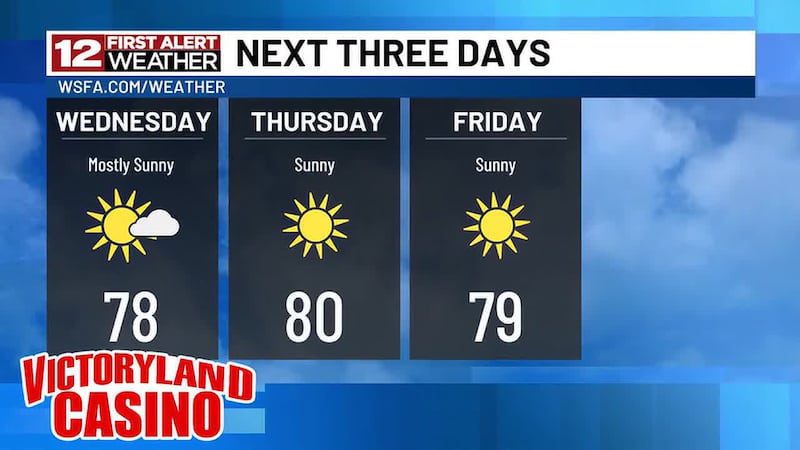
A shot of dramatically colder air arrives late Monday and lasts through the first half of the week ahead. Afternoon temperatures will struggle to reach the lower 60s and overnight temperatures will drop into the lower 40s on multiple nights.
Copyright 2025 WSFA. All rights reserved.